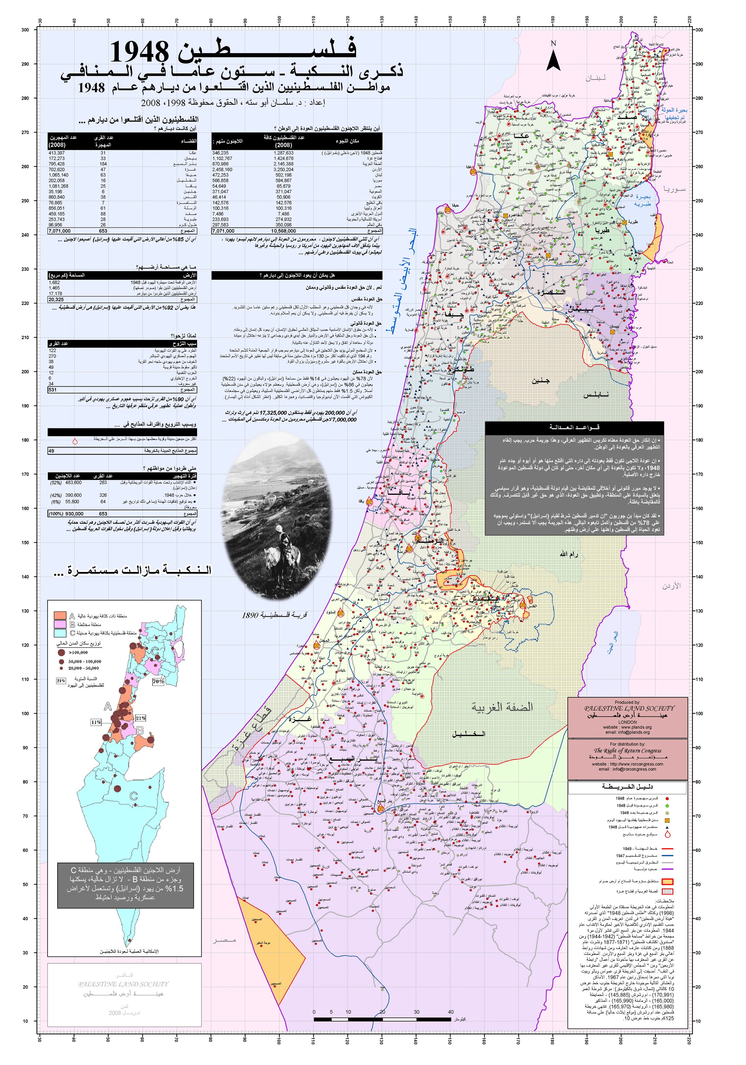
Pan or pinch the map, use the mouse wheel or + and −, then choose a name to open its story.
Cross-reference: Palestine 1948 and Palestine 2008: West Bank and Gaza Strip, prepared by Dr Salman Abu Sitta, Palestine Land Society. They are used to cross-check names and context; an unverified position is not pinned.
Memory of place
Villages of Gaza and its wider region
Search by village name to discover its landscape, community life, agriculture, routes and connection to Gaza’s embroidery memory.
Gaza subdistrict
نجد
Historic village
Place and history
It stood on a hill overlooking farmland in the southern coastal plain, with local roads connecting it to the Majdal–Gaza road and nearby villages. Farming and poultry were central, with grain and fruit grown and orchards watered from wells.